Terms of Use
![]() All versions of Natural Earth raster + vector map data found on this website are in the public domain. You may use the maps in any manner, including modifying the content and design, electronic dissemination, and offset printing. The primary authors, Tom Patterson and Nathaniel Vaughn Kelso, and all other contributors renounce all financial claim to the maps and invites you to use them for personal, educational, and commercial purposes.
All versions of Natural Earth raster + vector map data found on this website are in the public domain. You may use the maps in any manner, including modifying the content and design, electronic dissemination, and offset printing. The primary authors, Tom Patterson and Nathaniel Vaughn Kelso, and all other contributors renounce all financial claim to the maps and invites you to use them for personal, educational, and commercial purposes.
No permission is needed to use Natural Earth. Crediting the authors is unnecessary.
However, if you wish to cite the map data, simply use one of the following.
Short text:
Made with Natural Earth.
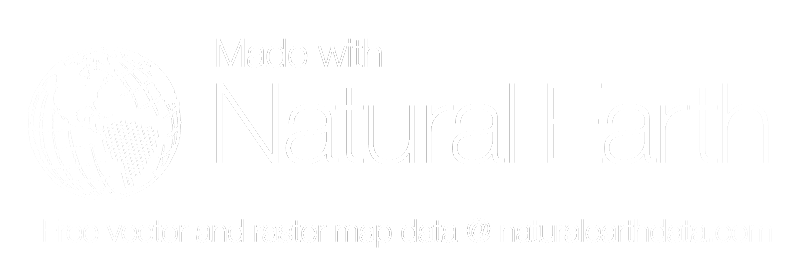
Long text:
Made with Natural Earth. Free vector and raster map data @ naturalearthdata.com.
Three logo options:
![]()
Download Large Transparent PNG
![]()
Download Large Transparent PNG
Note: this graphic is white on a transparent background. Gray shade is just so you can see it here
Download Large Transparent PNG
All users of Natural Earth are highly encouraged to read about data sources and manipulation in the Data Creation section.
The authors provide Natural Earth as a public service and are not responsible for any problems relating to accuracy, content, design, and how it is used. If you find an error or omission, please report it for future updates.
The authors used data from The Washington Post, here is their release:
Natural Earth is hereby granted a non-exclusive license to use the data being provided by The Washington Post for the sole purpose of creating a world base map. The Washington Post makes no claims as to the completeness, accuracy or content of the data, and makes no representation of any kind, including, but not limited to, any warranty as to the accuracy or fitness of the data for a particular use (nor shall the act of distribution constitute any such warranty). No responsibility is assumed by The Washington Post for any claims arising out of Natural Earth’s use of the data.
The author’s used river and lake data (for Europe only) from the European Commission, Joint Research Centre, Institute for Environment and Sustainability, here is their release:
Natural Earth is hereby granted a non-exclusive license to use the data being provided by European Commission, Joint Research Centre, Institute for Environment and Sustainability (JRC IES) for the sole purpose of creating a world base map. The EC JRC IES makes no claims as to the completeness, accuracy or content of the data, and makes no representation of any kind, including, but not limited to, any warranty as to the accuracy or fitness of the data for a particular use (nor shall the act of distribution constitute any such warranty). No responsibility is assumed by EC JRC IES for any claims arising out of Natural Earth’s use of the data.
The author’s used road transportation data (for North America only) from XNR Productions, here is their release:
Natural Earth is hereby granted a non-exclusive license to use the data being provided by XNR Productions for the sole purpose of creating a world base map. XNR makes no claims as to the completeness, accuracy or content of the data, and makes no representation of any kind, including, but not limited to, any warranty as to the accuracy or fitness of the data for a particular use (nor shall the act of distribution constitute any such warranty). No responsibility is assumed by XNR for any claims arising out of Natural Earth’s use of the data.
The author’s used time zone data from International Mapping Associates, Inc., here is their release:
Natural Earth is hereby granted a non-exclusive license to use the data being provided by International Mapping Associates, Inc. for the sole purpose of creating a world base map. International Mapping Associates, Inc. makes no claims as to the completeness, accuracy or content of the data, and makes no representation of any kind, including, but not limited to, any warranty as to the accuracy or fitness of the data for a particular use (nor shall the act of distribution constitute any such warranty). No responsibility is assumed by International Mapping Associates, Inc. for any claims arising out of Natural Earth’s use of the data.
The authors’ used name data for more than 20 languages from Wikidata which is under a CC0 (public domain) license.
Happy mapping!


