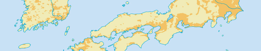
Glaciated Areas
Includes glaciers and recently de-glaciated areas.
[drain file 63 show nev_download]
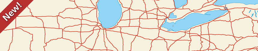
Roads
Transportation. [drain file 241 show nev_download]
[drain file 240 show nev_download]
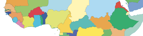
Admin 1 – States, provinces
Internal administrative divisions of countries
Natural Earth shows de facto boundaries by default according to who controls the territory, versus de jure. Adjusted to taste which boundaries are shown, hidden, and how they are rendered using the fclass_* properties to create POV worldviews.
[drain file 127 show nev_download]
[drain file 269 show nev_download]
[drain file 126 show nev_download]
[drain file 355 show nev_download]
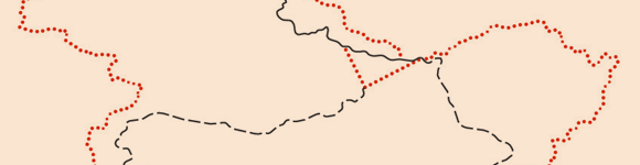
Admin 0 – Breakaway, Disputed Areas
Kashmir to the Elemi Triangle, ~100 features
Natural Earth shows de facto boundaries by default according to who controls the territory, versus de jure. Adjusted to taste which boundaries are shown, hidden, and how they are rendered using the fclass_* properties paired with the POV worldview polygons above.
[drain file 18 show nev_download]
[drain file 17 show nev_download]
[drain file 200 show nev_download]
[drain file 334 show nev_download]
[drain file 333 show nev_download]
Reefs
Coral reefs and atolls.
[drain file 78 show nev_download]
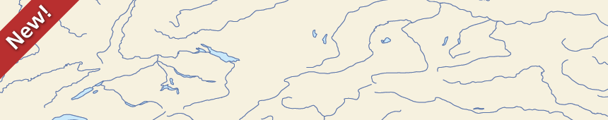
Rivers, Lake Centerlines
Single-line drainages including optional lake centerlines.
[drain file 179 show nev_download]
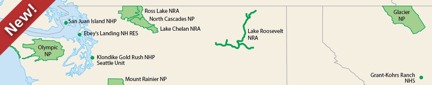
Parks and Protected Lands
398 parks, including the latest additions, Fort Monroe, Virginia and Cesar Chávez, California.
[drain file 220 show nev_download]
Urban Areas
Area of dense human habitation.
[drain file 41 show nev_download]
Railroads
Transportation[drain file 242 show nev_download]
[drain file 343 show nev_download]
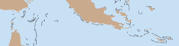
Admin 0 – Countries
There are 258 countries in the world. Greenland as separate from Denmark. Most users will want this file instead of sovereign states, though some users will want map units instead when needing to distinguish overseas regions of France.
Natural Earth shows de facto boundaries by default according to who controls the territory, versus de jure. Optional point-of-view (POV) variants are available for several dozen countries in the next section.
[drain file 21 show nev_download]
[drain file 335 show nev_download]
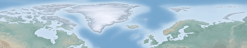
Cross Blended Hypso with Shaded Relief and Water
With Shaded Relief and Water
Land coloring based on elevation.
Add your own rivers and lakes.
[drain file 83 show nev_download]
[drain file 86 show nev_download]
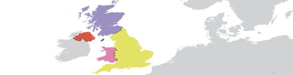
Admin 0 – Details
There are 209 sovereign states in the world, though only 199 issue passports. Auxiliary themes include 298 cartographic map units and 360 subunits optimized for labeling edge cases, like the four constitute countries of England, Scotland, Wales, and Northern Ireland in the United Kingdom.
[drain file 125 show nev_download]
[drain file 352 show nev_download]
[drain file 124 show nev_download]
[drain file 118 show nev_download]
[drain file 117 show nev_download]
[drain file 121 show nev_download]
Bathymetry
Nested polygons for each depth created from SRTM Plus.
[drain file 56 show nev_download]
[drain file 44 show nev_download]
[drain file 47 show nev_download]
[drain file 45 show nev_download]
[drain file 48 show nev_download]
[drain file 49 show nev_download]
[drain file 50 show nev_download]
[drain file 51 show nev_download]
[drain file 52 show nev_download]
[drain file 53 show nev_download]
[drain file 54 show nev_download]
[drain file 55 show nev_download]
[drain file 46 show nev_download]
Natural Earth I with Shaded Relief and Water
With Shaded Relief and Water
Coloring based on land cover. Add your own rivers and lakes.
[drain file 90 show nev_download]
[drain file 94 show nev_download]
Populated Places
City and town points, from Tokyo to Wasilla, Cairo to Kandahar [drain file 128 show nev_download][drain file 230 show nev_download]
Antarctic Ice Shelves
Year-round ice shelves fringing Antarctica.
[drain file 43 show nev_download]
[drain file 42 show nev_download]